





Wandelroutes in de Belgische Ardennen
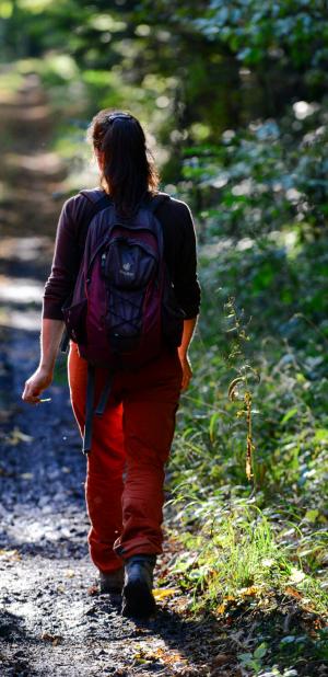
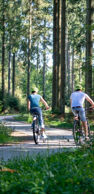
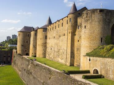
De Belgische Ardennen strekken zich uit over de provincies Namen, Luik en Luxemburg, en een stukje van de provincie Henegouwen. Hier vind je dus volop mogelijkheden om te wandelen! In het bos, door de velden of de stad, langs het water of over rotsachtige bergkammen… Er is voor iedereen een wandeling!

Practice type
Walking
50h
Stroller
Le Chemin du Chevreuil

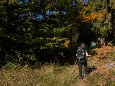
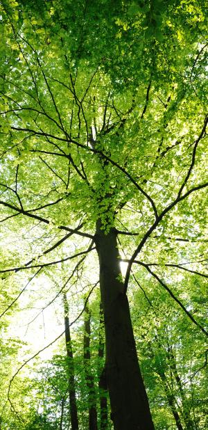
Situated at the heart of the Eau d’Heure Lakes recreational site, the Chemin du Chevreuil, designed primarily for families and casual walkers, offers a quick immersion in the region’s wooded countryside. After just a few steps, the path leads you away from the hustle and bustle of the tourist facilities and into a dense forest. You’ll follow a mix of dirt tracks, nature trails and short sections of gravel path. The tranquillity of the forest is ubiquitous. The route forms a loop that crosses a road before returning directly to its starting point near the car parks. In spring, you’ll walk along this path through a sea of yellow flowers. The path is also well worth a visit in summer, when it’s surrounded by green pastures.
Signalétique (EN)
Pedestrian - Horizontal rectangle - Yellow
Difficulty
Duration
50h
Dist.
2.8 km
Practice type
Walking
50h
Stroller
Show more information
À proximité
Nearby tours
Map background choice

IGN France Map

Aerial Photos / IGN

Slope Map (IGN France Map)

Map 1950 / IGN

State Major Map (1820-1866)

Open Street Map
Lat : 50.19235Lng : 4.35162
Coordinates copied

Maison du Tourisme Pays des Lacs
Author
99
route de la Plate Taille
6440 Boussu-lez-Walcourt
6440 Boussu-lez-Walcourt
AlertAlerts
Powered by Cirkwi - Read Terms of Use