






Wanderrouten in den belgischen ARdennen
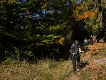
Die belgischen Ardennen erstrecken sich über die Provinzen Namur, Lüttich und Luxemburg, sowie einen Teil der Provinz Hennegau. Es gibt also zahlreiche Wandermöglichkeiten – die perfekte Spielwiese für alle Freunde des sanften Tourismus. Durch den Wald, über Felder, vorbei an Städten oder Dörfern, am Wasser entlang oder über felsige Bergrücken - es gibt für jeden Geschmack etwas.

Practice type
Walking
Falisolle - Chapels circuit

This is a relatively short, medium-level tour that takes you through 13 chapels in the villages of Falisolle and Arsimont. With explanations about these 13 places of worship, allow 2 hours.
This route takes you to no fewer than 13 places of worship! 1 church, 10 chapels, 1 shrine, and 1 calvary! All in the villages of Falisolle and Arsimont.
In order, you will pass 1 (Start-Finish): Saint-Rémy Church / 2: Saint-Antoine Chapel / 3: Saint-Joseph Chapel / 4: Saint-Roch Chapel / 5: Sainte-Anne Chapel / 6: Empty shrine of Our Lady of Bon-Secours / 7: Our Lady of Bon-Secours or Bosquet Chapel / 8: Chapel of Gratitude to the Sacred Heart (private property) / 9: Immaculate Conception Chapel / 10: Saint-Hubert and Our Lady of the Afflicted Chapels / 11: Saint-Luc Chapel / 12: Our Lady of Walcourt Chapel / 13: Calvary
Signalétique (EN)
No signage
Walking
Difficulty
Dist.
8.4 km
Practice type
Walking
Show more information
À proximité
Nearby tours
Map background choice

IGN France Map

Aerial Photos / IGN

Slope Map (IGN France Map)

Map 1950 / IGN

State Major Map (1820-1866)

Open Street Map
Lat : 50.41844Lng : 4.62142
Coordinates copied

Terra Curiosa
Author
AlertAlerts
Powered by Cirkwi - Read Terms of Use