


All our hiking trails
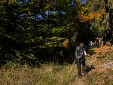
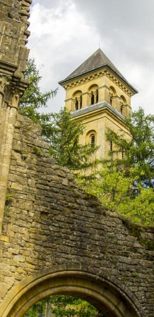
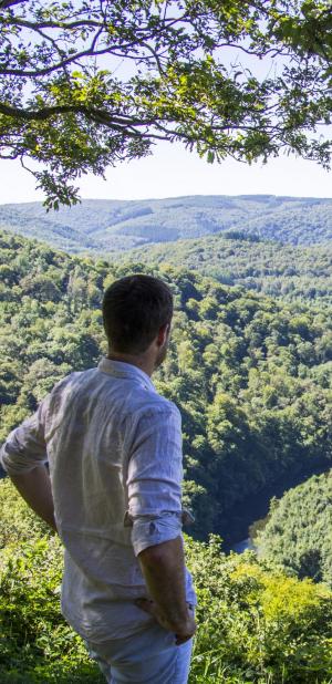
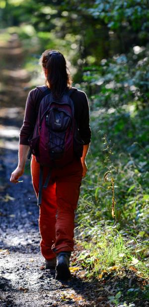
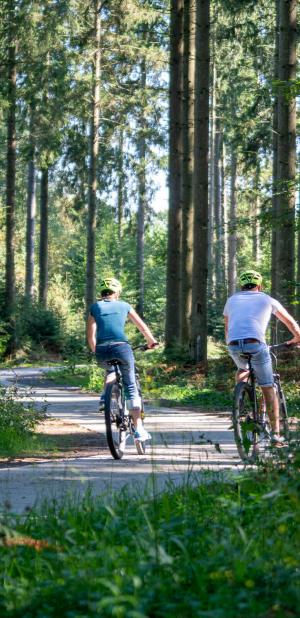
The hiking trails in the Ardennes are as diverse as the landscapes they traverse. Whether you are looking for a peaceful hike in the heart of the forest, along a river or through authentic villages, the Ardennes offers a multitude of choices! The routes are adapted to your level and your desires.
Choose your hike, put on your boots and enjoy!

Practice type
Walking
Car-free travel in Wallonia : From Marche to Liège on foot

Enjoy this unique slow tourism experience in car-free Wallonia by combining train journeys with walking. Your getaway begins at a station and ends at a station. In between, a magnificent walking route takes you on a journey of discovery through nature and the heritage, culinary and cultural gems you’ll find along the way. And if you wish to shorten your stage, you’re never far from the railway line and intermediate stations on your route.
The ‘Slowtrip’ in Wallonia offers a choice of 12 itineraries combining rail travel with walking or cycling.
Tips for your trip
We recommend planning between 12 and 25 km per day at a leisurely pace to make the most of the many highlights along the route. This equates to between 3 and 6 hours of walking per day.
Walking
Difficulty
Dist.
91 km
Practice type
Walking
Show more information
À proximité
Nearby tours
Nearby of points of interest
Map background choice

IGN France Map

Aerial Photos / IGN

Slope Map (IGN France Map)

Map 1950 / IGN

State Major Map (1820-1866)

Open Street Map
Lat : 50.22225Lng : 5.3445
Coordinates copied

VISITWallonia ASBL
Author
Avenue Comte de Smet de Nayer 14
5000 Namur
5000 Namur
The cave of Lorette in Rochefort: a remarkable natural heritage
Places of interest
Rochefort, 5580
Domaine des Grottes de Han
Places of interest
Han-sur-Lesse, 5580
The Caves of Han
Leisures
Han-sur-Lesse, 5580
La Lesse
Leisures
Rochefort, 5580
The UNESCO Global Famenne-Ardenne Geopark
Places of interest
Han-Sur-Lesse, 5580
Gîte Piralfau
Lodgings
Han-sur-Lesse, 5580
Camping des Grottes de Han
Lodgings
Han-sur-lesse, 5580
Malagne, the Archéopark presenting our ancestors: the Gauls
Places of interest
Rochefort, 5580
Hôtel-Restaurant La Malle Poste
Lodgings
Rochefort, 5580
Gîte d'étape Le Vieux Moulin
Lodgings
Rochefort, 5580
The Caves of Hotton: a geological gem
Places of interest
Hotton, 6990
RIVEO: the River Interpretative Centre in Hotton
Places of interest
Hotton, 6990
Chambres d'hôtes Les Chambres du Vivier
Lodgings
Grandhan, 6940
Au soleil couchant - A farm gîte in Grandhan
Lodgings
Grandhan, 6940
https://walloniabelgiumtourism.co.uk/en-gb/3/accommodation/eco-labelled-accommodation/au-cap-gite-a-farm-gite-in-grandhan/13032
Lodgings
Grandhan, 6940
Au soleil levant - A farm gîte in Grandhan
Lodgings
Grandhan, 6940
The Parc des Topiaires, a fascinating topiary garden in Durbuy
Places of interest
Durbuy, 6940
Adventure Valley Durbuy
Places of interest
Durbuy, 6940
Durbuy
Places of interest
Durbuy
The Labyrinthe de Durbuy
Leisures
Barvaux-sur-Ourthe, 6940
The Mont-des-Pins holiday estate in Bomal
Lodgings
Bomal, 6941
La Ferme Houar: a guesthouse in Bomal-sur-Ourthe
Lodgings
Bomal-sur-Ourthe, 6941
Chambres d'hôtes à la ferme Les Fleurs des Champs
Lodgings
Bomal, 6941
Hôtel Durbuy Ô
Lodgings
Warre, 6941
Confiturerie artisanale Saint-Amour
Producers and artisans
Durbuy, 6940
Hôtel Côté Cour
Lodgings
Durbuy, 6940
Durbuy's touristic train
Leisures
Durbuy, 6940
Durbuy History & Art Museum
Places of interest
Durbuy, 6940
Hôtel La Librairie
Lodgings
Durbuy, 6940
Camping Eau-Zone à Hotton
Lodgings
Hotton, 6990
Ny, one of the prettiest villages in Wallonia
Places of interest
Hotton, 6990
B&B Au Bouquet de Somme
Lodgings
Durbuy, 6940
B&B Aux Saveurs d'Enneille
Lodgings
Durbuy, 6940
La Lisière: a guesthouse in Durbuy
Lodgings
Durbuy, 6940
Durbuy international camping
Lodgings
Bomal, 6941
Brasserie Atrium
Producers and artisans
Marche-en-Famenne, 6900
B&B A l'aise
Lodgings
Barvaux-sur-Ourthe, 6940
Brasserie Fantôme (Brewery)
Producers and artisans
Soy, 6997
B&B La Vieille Ecole
Lodgings
Wéris, 6940
Weris, one of the prettiest villages in Wallonia
Places of interest
Wéris
The fascinating megaliths of Wéris
Places of interest
Wéris, 6940
Brasserie {C}
Catering
Liège
La Grand Poste
Catering
Liège
Une Gaufrette Saperlipopette
Producers and artisans
Liège, 4000
The Montagne de Bueren
Leisures
Liège, 4000
The Georges Simenon Youth Hostel - Liège
Lodgings
Liège, 4020
B&B Matin tranquille
Lodgings
Liège, 4000
Musée Tchantchès de Liège
Places of interest
4020 Liège
The wood hills of the Citadel of Liège
Places of interest
Liège, 4000
Liège, une ville, un esprit : visites guidées de la ville et de ses environs
Places of interest
4000 Liège
Le Musée Grand Curtius de Liège, l'ensemble muséal de la Cité Ardente
Places of interest
4000 Liège
Step underground at the Cave of Comblain
Places of interest
Comblain-au-Pont, 4170
The Musée du Pays d'Ourthe-Amblève in Comblain-au-Pont
Places of interest
Comblain au pont, 4170
A discovery day at the Bat Centre
Leisures
Comblain-au-Pont, 4170
Maison d’hôtes La Belle Vue
Lodgings
Comblain-au-Pont, 4170
Kayak Club Les Remous
Places of interest
Hamoir, 4180
Fun Adventure
Leisures
Ferrière, 4190
The Domaine de Palogne, a leisure centre along the Ourthe
Leisures
Vieuxville, 4190
AlertAlerts
Powered by Cirkwi - Read Terms of Use