






All our hiking trails
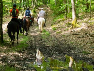
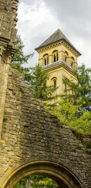
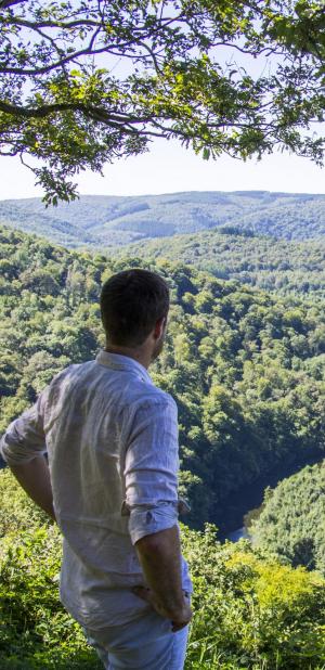
The hiking trails in the Ardennes are as diverse as the landscapes they traverse. Whether you are looking for a peaceful hike in the heart of the forest, along a river or through authentic villages, the Ardennes offers a multitude of choices! The routes are adapted to your level and your desires.
Choose your hike, put on your boots and enjoy!

Practice type
Walking
Entre Ardenne et Famenne

From Grupont to Bure and from Bure to Grupont, the contrasting landscapes follow one another. Indeed, here we are on the border of two geological regions: the Ardennes and the Famenne. Walking through the streets of Grupont admire the church Saint-Denis, the old mill "Colle" and the Spanish House (later described in the Promenade du Bois de Machi). From the Croisette, you can see kites, buzzards or herons flying over the hill Thiers de Bure (north-west).
After a walk along the river Lhomme cross the Fornès bridge. This wetland is currently being rehabilitated and you will find iris, angelica and water mint. The area is also home to many birds, such as the reed warbler and the spotted woodpecker. At the top of the slope, you can enjoy a view over the Lhomme valley.
When you arrive in Bure, discover the old castle that now houses an old college as well as Saint-Lambert church and the village's fountains. They are part of the remarkable heritage of this municipality (you will find their features in the Chemin des Bruyères). The landscape is also remarkable especially at the place called "Al'Boteîlle". Beware of the passage to the Bois de Wève: it is very wet in wet weather.
From the Bois de Wève, the meadows and groves contain interesting fauna and botanical populations. Primroses, spearweed, St John's wort, nettle and globularia will enrich your walk to Grupont.
This signposted walk is included on the Tellin walking map, available for €6.50 from the Office de Tourisme of Tellin and from the Maison du Tourisme de la Forêt de Saint-Hubert.
Marking: blue horizontal rectangle
Signalétique (EN)
Pedestrian - Horizontal rectangle - Blue
Walking
Difficulty
Dist.
5.8 km
Practice type
Walking
Show more information
À proximité
Nearby tours
Nearby of points of interest
Map background choice

IGN Map

Aerial Photos / IGN

Slope Map (IGN Plan)

Map 1950 / IGN

State Major Map (1820-1866)

Open Street Map
Lat : 50.08876Lng : 5.25977
Coordinates copied

Maison du Tourisme de la Forêt de Saint-Hubert
Author
15
Place du Marché
6870 Saint-Hubert
6870 Saint-Hubert
L'église Saint-Denis
Places of interest
Grupont, 6927
Olé - Bar d'été
Catering
Grupont, 6927
Le village de Grupont
Places of interest
Grupont, 6927
L'ancien moulin Colle
Places of interest
Grupont, 6927
La Maison espagnole
Places of interest
Grupont, 6927
A monument to the courage of Belgian mine-clearance units in Grupont
Places of interest
Grupont, 6927
Chapelle Notre-Dame des Pauvres
Places of interest
Grupont, 6927
Castle Farm of Bure
Places of interest
Bure, 6927
Le village de Bure
Places of interest
Bure, 6927
Saint-Lambrecht Church of Bure and Notre-Dame de Haurt Chapel
Places of interest
Bure, 6927
Plaque dedicated to the British 6th Airborne
Places of interest
Bure, 6927
"Roll of Honour" of the British 6th Airborne Division
Places of interest
Bure, 6927
Stone commemorating the civilian victims and all the soldiers of Bure
Places of interest
Bure, 6927
Plaque reminding us that this house served as a medical dressing-station of Bure
Places of interest
Bure, 6927
Les aventures de Gaspard le renard à Tellin
Places of interest
Bure, 6927
Le pont des Fornês
Places of interest
Bure, 6927
The village of Bure during the Batlle of the Ardennes
Places of interest
Bure, 6927
Stone commemorating the 61 paratroopers of Bure
Places of interest
Bure, 6927
La Roche de la Bietlette
Places of interest
Bure, 6927
AlertAlerts
Powered by Cirkwi - Read Terms of Use