





All our hiking trails
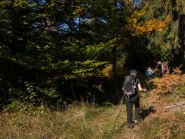
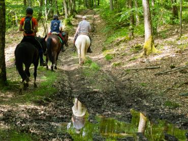
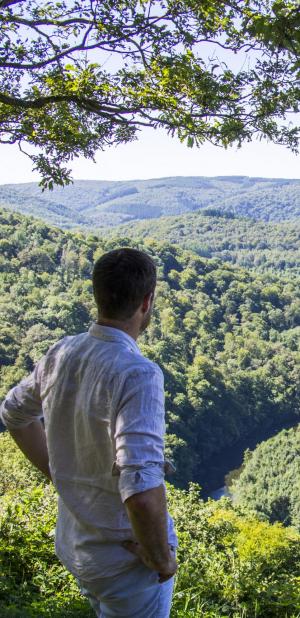
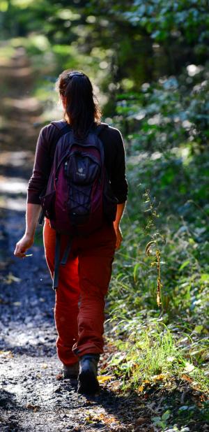
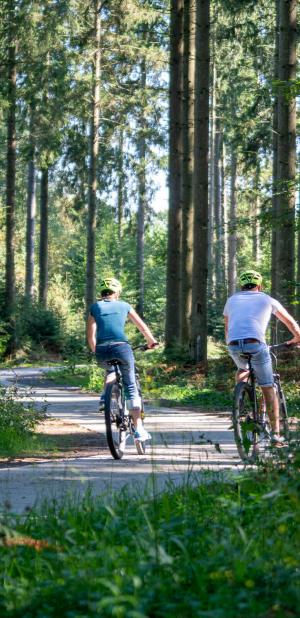
The hiking trails in the Ardennes are as diverse as the landscapes they traverse. Whether you are looking for a peaceful hike in the heart of the forest, along a river or through authentic villages, the Ardennes offers a multitude of choices! The routes are adapted to your level and your desires.
Choose your hike, put on your boots and enjoy!

Practice type
Walking
1h30mn
Two-wheeled wheelchair
Stroller
La Balade du Ballonet

Situated at the heart of the Eau d’Heure Lakes recreational site, the Ballonnet walk takes you through woods and along riverbanks to discover exceptional panoramic views. A forest path climbs up to the ridge of the Bois des Brûlés, offering a superb view of the famous Plate Taille dam. The largest in terms of surface area, Plate Taille Lake is home to the main dam (the only one in Belgium that can be visited from the inside), a hydroelectric power station, and the only official beach authorised for swimming (Espace Fun). The second half of the route runs alongside Eau d’Heure Lake, which offers a perfect contrast between the water and the forest. Covering an area of 135 hectares, Eau d’Heure Lake is mainly used for motor sports such as jet-skiing and water skiing.
Signalétique (EN)
N1 (Pedestrian) - Red
Difficulty
Duration
1h30mn
Dist.
4.3 km
Practice type
Walking
1h30mn
Two-wheeled wheelchair
Stroller
Show more information
À proximité
Nearby tours
Map background choice

IGN France Map

Aerial Photos / IGN

Slope Map (IGN France Map)

Map 1950 / IGN

State Major Map (1820-1866)

Open Street Map
Lat : 50.20197Lng : 4.49343
Coordinates copied

Maison du Tourisme Pays des Lacs
Author
99, route de la Plate Taille
6440 Boussu-lez-Walcourt
6440 Boussu-lez-Walcourt
AlertAlerts
Powered by Cirkwi - Read Terms of Use