








All our hiking trails
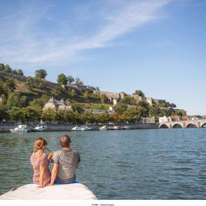
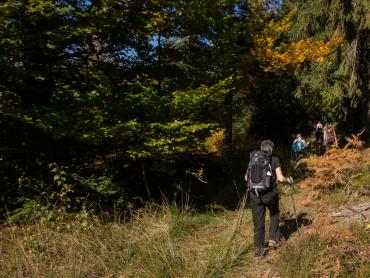
The hiking trails in the Ardennes are as diverse as the landscapes they traverse. Whether you are looking for a peaceful hike in the heart of the forest, along a river or through authentic villages, the Ardennes offers a multitude of choices! The routes are adapted to your level and your desires.
Choose your hike, put on your boots and enjoy!

Practice type
Road bike
Two-wheeled wheelchair
Accessible cycle route "Ligny - Gembloux"

You begin your walk from the old Ligny Sud station, not far from the battlefield where the French Emperor, Napoleon I, won his final victory.
Shortly before the village of Sombreffe, sections of rails and switches laid on sleepers are still visible for about a hundred meters. These are the last vestiges of the line's activity. At this point, a railway junction served a grain storage warehouse.
Line 147, laid almost exactly to a ruler, then runs to Gembloux, where a beautiful curve brings you to the station parking lot.
Round trip of 21.6 km in total.
Signalétique (EN)
No signage
Difficulty
Not specified
Dist.
21.6 km
Practice type
Road bike
Two-wheeled wheelchair
Show more information
À proximité
Nearby tours
Map background choice

IGN France Map

Aerial Photos / IGN

Slope Map (IGN France Map)

Map 1950 / IGN

State Major Map (1820-1866)

Open Street Map
Lat : 50.50713Lng : 4.58199
Coordinates copied

Terra Curiosa
Author
AlertAlerts
Powered by Cirkwi - Read Terms of Use