


All our hiking trails
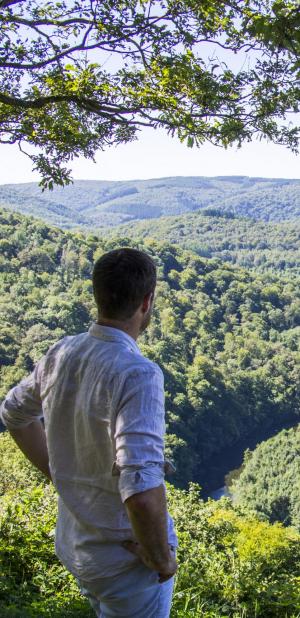
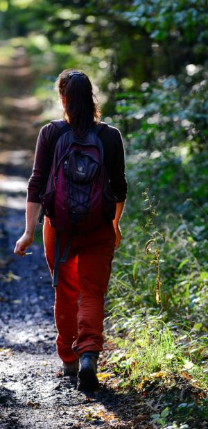
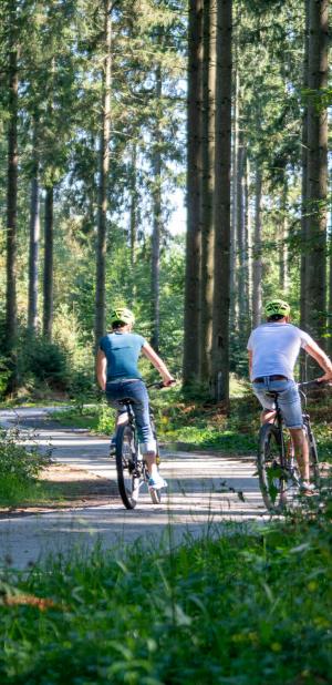
The hiking trails in the Ardennes are as diverse as the landscapes they traverse. Whether you are looking for a peaceful hike in the heart of the forest, along a river or through authentic villages, the Ardennes offers a multitude of choices! The routes are adapted to your level and your desires.
Choose your hike, put on your boots and enjoy!

Practice type
Walking
1h10mn
Nordic walking
Walk Sur les thiers

Discover the other side of Francorchamps, well known for its car circuit... With this route, you will walk through the old streets of the village and discover the fields and forests that surround the village.
Signalétique (EN)
N1 (Pedestrian) - Green
Difficulty
Duration
1h10mn
Dist.
4.4 km
Practice type
Walking
1h10mn
Nordic walking
Show more information
À proximité
Nearby tours
Nearby of points of interest
Map background choice

IGN Map

Aerial Photos / IGN

Slope Map (IGN Plan)

Map 1950 / IGN

State Major Map (1820-1866)

Open Street Map
Lat : 50.45438Lng : 5.95124
Coordinates copied

Spa Hautes-Fagnes Ardennes
Author

Tourist Info point of Francorchamps
Information
Francorchamps, 4970
1
Crossing the road
Be careful when crossing the road. Please use the pedestrian crossing on the left.
Stavelot, 4970
1
War memorial
Places of interest
Stavelot, 4970
Maison Cabron
Services
Francorchamps, 4970
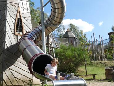
Playground of Francorchamps
Places of interest
Stavelot, 4970
Old fountain
Places of interest
Stavelot, 4970
5
Alternative Route
Please note that some walking maps indicate that the route turns to the right at the crossroads. The walk is then shortened by 800 metres.
Stavelot, 4970
5
The old weighbridge
Places of interest
Stavelot, 4970
6
Crossroads and muddy field
At the rock with the Virgin Mary continue to the right. Be careful, the path can be muddy at this point. The path on the left is private and access is forbidden.
Stavelot, 4970
6
Sur les Tiers
Services
Stavelot, 4970
7
Hairpin turn
Take the path to the left. Please note that this section of the road is not visible on some maps. Continue straight on and you will reach the village of Francorchamps along the main road.
Stavelot, 4970
7
Viewpoint on the Eau rouge motorway bridge
Places of interest
Stavelot, 4970
8
Right turn, not very visible signs
The walk continues on the right. The markings are sometimes difficult to see because of the dense vegetation.
Stavelot, 4970
8
Viewpoint on the Roanney valley
Places of interest
Stavelot, 4970
Cockémont Cross
Places of interest
Stavelot, 4970
AlertAlerts
Powered by Cirkwi - Read Terms of Use