



Die belgischen Ardennen mit dem Fahrrad Erkunden
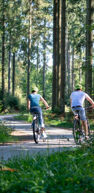
Die belgischen Ardennen umfassen die Provinzen Namur, Lüttich und Luxemburg, sowie einen Teil der Provinz Hennegau. Jede Menge Möglichkeiten also, die Region mit dem Fahrrad zu erkunden – in jeder verfügbaren Schwierigkeitsstufe. Ob mit dem Mountainbike, dem Rennrad oder dem E-Bike: Hier könnt Ihr die schönsten Landschaften der belgischen Ardennen kennen lernen.

Art der Ausübung
Gehen
Trailrunning
Nordic Walking
Mountainbike
Sentiers d'Art en Condroz-Famenne : Loop 19 - Faulx-les-tombes

The Condroz-Famenne Art Trails is a long-distance, signposted walking route – both attractive and unique in Wallonia – stretching over 160 km. It is dotted with nearly 60 works of art set in the natural landscape, created by artists from various countries. These include works of land art and street art. This trail passes through the municipalities of Assesse, Ciney, Gesves, Hamois, Havelange, Ohey and Somme-Leuze.
Short loops such as this one, ranging from 4, 7, 12, 16, 27, 35 to 50 km, are available along the entire length of the trail. The loops largely follow the signposted ‘Sentiers d’Art’ route. However, to return to its starting point, the loop eventually leaves the signposted route. The GPX file or map (available from the Condroz-Famenne Tourist Office or at www.sentiersdart.be) is therefore required.
Six artistic and poetic shelters allow walkers to take shelter and rest for the night as they make their way along the trail… No bookings are possible. First come, first served! These shelters are accompanied by camping areas which can be booked via the website www.sentiersdart.be
Whether using the campsites or the shelters, PLEASE OBSERVE THE FOREST CODE! No fires, no motor vehicles, respect for wildlife and flora, respect for the tranquillity of the area, stays of just a few hours only, and observe any closure periods, etc.
The main loop is signposted (red rectangle with the words ‘Sentiers d’art’) and is accessible free of charge all year round (except during the hunting season), 24 hours a day, 7 days a week, to all non-motorised users. Please note that during the hunting season, some access points may be closed. Please check before you set off.
Schwierigkeit
Dist.
8.7 km
Art der Ausübung
Gehen
Trailrunning
Nordic Walking
Mountainbike
Weitere Informationen anzeigen
À proximité
Tours in der Nähe
Point-of-Interesse in der Nähe
Kartengrundlage wählen

IGN-Plan Frankreich

Luftbilder / IGN

Hangneigungskarte (IGN-Plan Frankreich)

Karte 1950 / IGN

Generalstabskarte (1820-1866)

Open Street Map
Lat : 50.40394Lng : 5.03227
Kopierte Koordinaten

Maison du tourisme Condroz-Famenne
Autor
La Fête de Mai - Cathédrale de Lumière de Véronique Roland
Orte von Interesse
Assesse, 5336
La Fête de Mai - Arbres poumons de Michiel Verstraten et Arad Shiein
Orte von Interesse
Assesse, 5336
Sentiers d'Art - Concert d'oiseaux de Wouter Osterholt
Orte von Interesse
Gesves, 5340
WarnungWarnungen
Angetrieben durch Cirkwi - Lesen Sie die Nutzungsbedingungen