
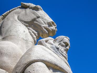


Alle Radwege & Mountainbike-Strecken in der Übersicht
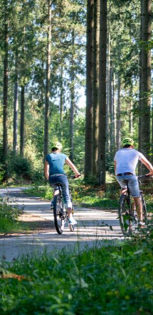
Ihr liebt das Gefühl, mit dem Fahrrad unterwegs zu sein? Die Ardennen bieten für jeden etwas, ganz egal wie oft oder intensiv Ihr unterwegs seid. Folgt Eurem eigenen Rhythmus durch die Felder, am Fluss entlang oder auch mitten durch den Wald: Hier gibt es etwas für jeden Geschmack. Ob Mountainbike, Rennrad oder E-Bike: Die Ardennen bieten Euch eine große Auswahl!
Wählt Eure Fahrradroute aus und los geht's!

Art der Ausübung
E-Bike
4h40mn
Trekkingrad
5h15mn
Mountainbike
5h15mn
Geländetretroller
4h45mn
Gravelbike
4h45mn
E-Mountainbike
4h35mn
Between Sanctuaries and Castles

Starting at the Beauraing train station, this 57-km loop takes you on a journey through a region richin heritage, blending spirituality, charming villages, and the landscapes of the Famenne.
Known for its Marian apparitions, Beauraing invites you to visit its shrines beforeheading out into the surrounding countryside.The route then leads you to the Château de Lavaux-Sainte-Anne, a remarkable building listedas part of Wallonia’s Exceptional Heritage.
You will then pass through several picturesque villages such as Wellin and Sohier, listed among the Most BeautifulVillages of Wallonia, as well as Froidlieu and Revogne, each adding its own rural charm to the journey. All along the route, local producers offer you the chance to makegourmet stops to discover the region’s local flavors.
3 possible routes:
Junction points to follow : 70 → 67 → 174 → 20 → 25 → 47 → 7 → 69 → 79 → 71 → 70
Primary surfaces : Asphalt and concrete
Secondary surfaces : Slabs, gravel and dirt
Can be completed in one or two days
Schwierigkeit
Dauer
4h40mn
(1t)
Dist.
57 km
Art der Ausübung
E-Bike
4h40mn
Trekkingrad
5h15mn
Mountainbike
5h15mn
Geländetretroller
4h45mn
Gravelbike
4h45mn
E-Mountainbike
4h35mn
Weitere Informationen anzeigen
À proximité
Tours in der Nähe
Point-of-Interesse in der Nähe
Kartengrundlage wählen

IGN-Plan Frankreich

Luftbilder / IGN

Hangneigungskarte (IGN-Plan Frankreich)

Karte 1950 / IGN

Generalstabskarte (1820-1866)

Open Street Map
Lat : 50.11665Lng : 4.95866
Kopierte Koordinaten

UNESCO Global Geopark Famenne-Ardenne
Autor
2
Place Théo Lannoy
5580 Rochefort
5580 Rochefort
Beauraing station
Dienstleistungen und Geschäfte
Beauraing, 5570
1
Crossing a road with heavy traffic
The route crosses the N95, a road with heavy traffic. Make sure the road is clear before crossing to ensure your safety.
Beauraing, 5574
1
Le Pélerin
Restaurierung
Beauraing, 5570
2
Crossing a road with heavy traffic
The route crosses the N40, a road with heavy traffic. Make sure the road is clear before crossing to ensure your safety.
Beauraing, 5570
2
Lambot Butcher Shop
Produzenten und Handwerker
Beauraing, 5570
Beauraing Shrines
Orte von Interesse
Beauraing, 5570
Beauraing Tourist Office
Informationen
Beauraing, 5570
DOLOCHOC
Produzenten und Handwerker
Beauraing, 5573
Loft du Presbytère
Unterkunft
Beauraing, 5573
7
Road with heavy vehicle traffic
The route follows the N95 for 325 meters. This section has heavy vehicle traffic and there is no bike lane; please stay to the right, exercise extra caution, and wear high-visibility clothing and/or use lights.
Beauraing, 5570
7
Le Chaudron d'Uchy
Produzenten und Handwerker
Beauraing, 5573
8
Road with heavy vehicle traffic
The route follows the N911 for 625 meters. This section has heavy vehicle traffic and there is no bike lane; please stay to the right, exercise extra caution, and wear high-visibility clothing and/or use lights.
Beauraing, 5572
8
Lavaux-Saint-Anne Castle
Orte von Interesse
Rochefort, 5580
9
Road with heavy vehicle traffic
The route follows the N40 for 200 meters. This section has heavy vehicle traffic and there is no bike lane; please stay to the right, exercise extra caution, and wear high-visibility clothing and/or use lights.
Beauraing, 5574
9
Camping Papillon Rochefort (Roptai)
Unterkunft
Rochefort, 5580
10
Road with heavy vehicle traffic
The route follows the N981 for 125 meters. This section has heavy vehicle traffic and there is no bike lane; please stay to the right, exercise extra caution, and wear high-visibility clothing and/or use lights.
Beauraing, 5570
10
The "Carrière des Limites" quarry
Orte von Interesse
Rochefort, 5580
11
Road with heavy vehicle traffic
The route follows the N95d for 250 meters. This section has heavy vehicle traffic and there is no bike lane; please stay to the right, exercise extra caution, and wear high-visibility clothing and/or use lights.
Beauraing, 5570
11
CapRando
Aktivitäten
Wellin, 6921
La Forge Chambres d'hôtes en Ardenne
Unterkunft
Wellin, 6921
Picnic spot
Orte von Interesse
Wellin, 6922
Gîte Au Clos Caleste
Unterkunft
Wellin, 6920
Saint-Remacle Church and its Baptismal Font
Orte von Interesse
Wellin, 6920
Grofils Bakery and Pastry Shop
Produzenten und Handwerker
Wellin, 6920
Wellin Tourist Office
Informationen
Wellin, 6920
Lefèbvre Butcher Shop
Produzenten und Handwerker
Wellin, 6920
Old village mill in Lomprez
Orte von Interesse
Wellin, 6924
Drève des Tilleuls and neo-gothic chapel
Orte von Interesse
Wellin, 6920
Sohier, One of the Most Beautiful Villages of Wallonia
Orte von Interesse
Wellin, 6920
Le Pressoir d'Hortus
Produzenten und Handwerker
Wellin, 6920
Froidlieu, picturesque village
Orte von Interesse
Wellin, 6920
Maison d'Engon
Unterkunft
Beauraing, 5570
Revogne, picturesque village
Orte von Interesse
Beauraing, 5570
La Ferme du Couchant
Unterkunft
Beauraing, 5570
Ferme d'Esclaye
Produzenten und Handwerker
Beauraing, 5574
Gîte du Chapy
Unterkunft
Beauraing, 5570
Rêve Gourmand
Unterkunft
Beauraing, 5570
Cycles Scarcez
Dienstleistungen und Geschäfte
Beauraing, 5570
Restarea
Orte von Interesse
Beauraing, 5570
Bike Parking
Dienstleistungen und Geschäfte
Beauraing, 5570
Ferme de Roncheury
Produzenten und Handwerker
Wellin, 6920
Brasserie du Pôle
Restaurierung
Beauraing, 5570
Gîte Le Cristal
Unterkunft
Beauraing, 5570
Le Martin Pêcheur (Gîte)
Unterkunft
Beauraing, 5574
WarnungWarnungen
Angetrieben durch Cirkwi - Lesen Sie die Nutzungsbedingungen