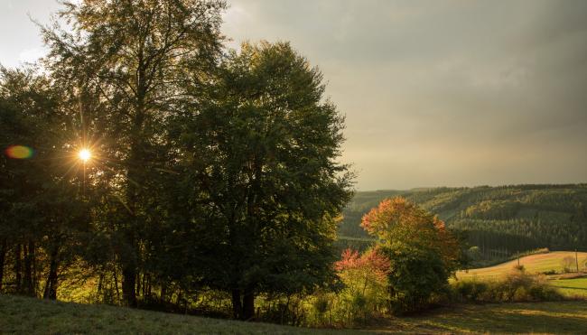
ARDENNES on HORSEBACK FROM PARK TO PARK
This equestrian route of over 500 km is divided into several stages : take your time discovering the stunning landscapes of the Eastern Ardennes at your own pace. Each stage will surely enchant you!

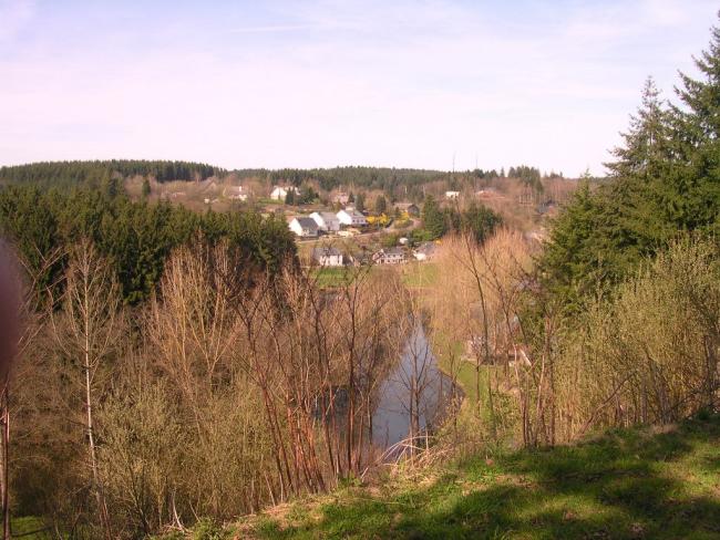
Ardennes on horseback, from park to park
Useful information
14 days of horseback riding
433 kilometers (+84km as a bonus!)
Starting point: Raeren (Parc naturel Hautes Fagnes - Eifel)
GPX and KML routes and printable maps are available below each stage description.
Find all equestrian accommodation on our interactive map.
At each stage of the route, you'll find rest areas for riders and their mounts, as well as tourist accommodations for riders and their horses.
The best time to ride the route is from April 15 to September 15. After September 15, don't forget to check the hunting calendars at tourist information points.
The biggest part of the route is on natural or gravel paths. A small part is on asphalt or RAVels. On these sections, please take care not to leave any manure behind.
The stages
Stage 1 : Raeren to Baelen
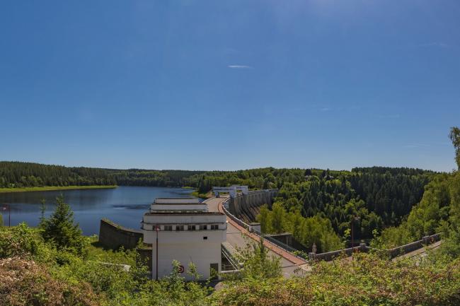
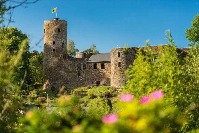
The first stage starts at the "Gut Rattenhaus" riding station. Pass by the magnificent Raeren Castle (pottery museum) and the fortified "Knoppenburg" Castle' in Neudorf. You will then arrive at the Vesdre Dam. You will then pass through the town of Eupen, through the village of Membach, and finally arrive in Baelen.
Length: 28.9 km - Total ascent: 383m - Total descent: 394m
Stage 2 : Baelen to Herbiester
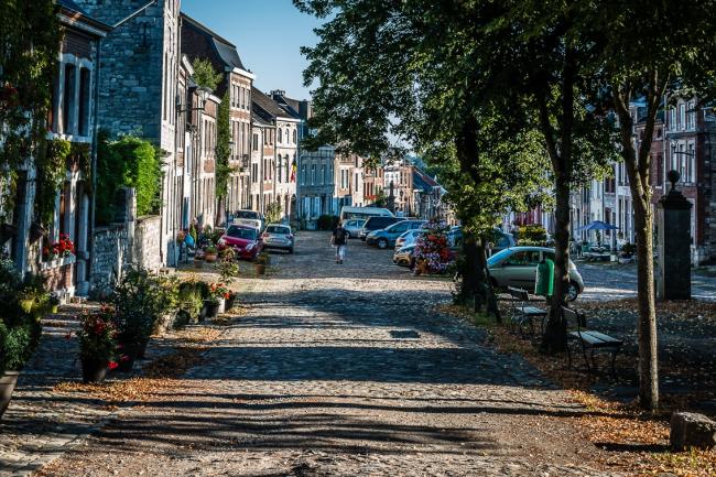
You'll pass through the picturesque village of Limbourg, a former fortress and listed as one of the Most Beautiful Villages in Wallonia! You'll finish this second stage at the famous Dam of Gileppe and its majestic Lion.
Length: 26.2 km - Ascent: 457m - Descent: 364m
Stage 3 : Herbiester to Sourbrodt
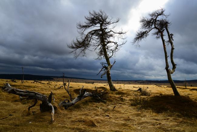
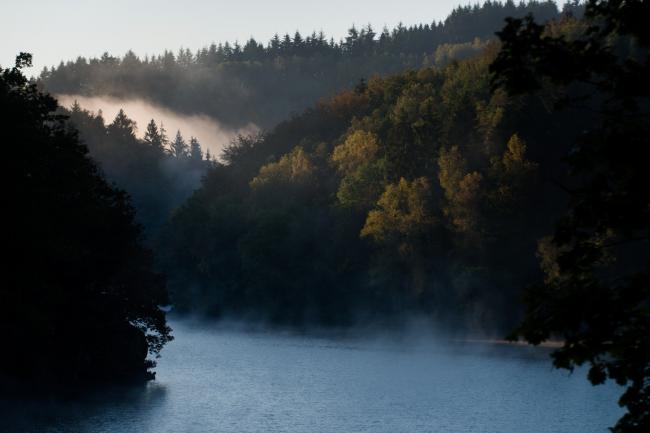
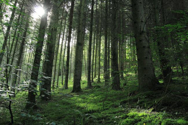
Continue your horseback riding through the woods of Hertogenwald, classified as a Natura 2000 area. You will then arrive in the typical landscape of the Hautes Fagnes, with its moors and spruce forests.
Length: 26.3 km - Ascent: 501m - Descent: 312m
Stage 4 : Sourbrodt to Rocherath
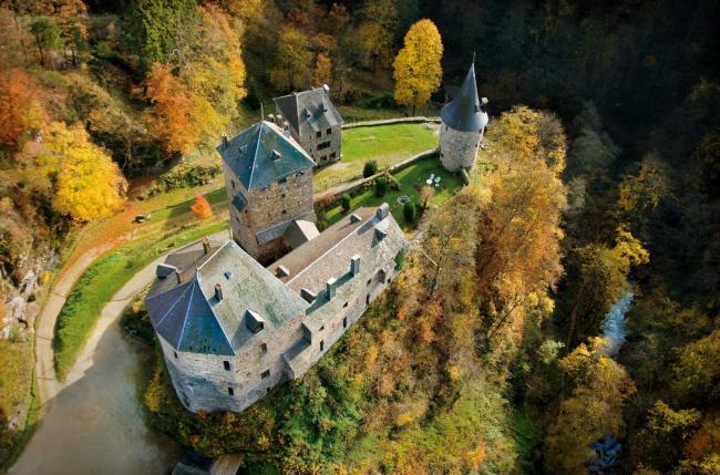
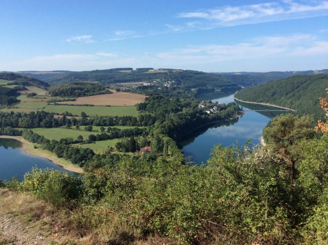
The Parkouse - Botrange welcomes you on your road, before continuing your journey to the exceptional Castle Reinhardstein and its panoramic path overlooked by the "Nez de Napoléon" rock. You can also admire the Robertville Dam, before a gentle finish along the Lake Bütgenbach.
Length: 38.8 km - Total ascent: 537m - Total descent: 497m
Stage 5 : Rocherath to Schönberg
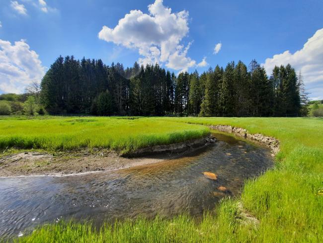
A 100% nature and peace, through forests, meadows and fields, before reaching the village of Schönberg.
Length: 26.2 km - Total ascent: 292m - Total descent: 451m
Stage 6 : Schönberg to Reuland
Enjoy nature in the Our Valley, and admire the old "Antoniusbaum", a 300-year-old tree, as well as a charming "Mariengrotte"a cave in Neidingen. You'll also see the old Reuland railway station and the ruins of Burg-Reuland castle.
Length: 35.5 km - Ascent: 553m - Descent: 623m
Stage 7 : Reuland to Cherain
You leave the Belgian Eifel and make a brief foray into the Our Nature Park in the Grand Duchy of Luxembourg. You then enter the Parc naturel des deux Ourthes (Belgian Luxembourg), where, through forests and meadows, you head towards the village of Cherain.
Length: 29.0 km - Total ascent: 431m - Total descent: 408m
Stage 8 : Cherain to Achouffe
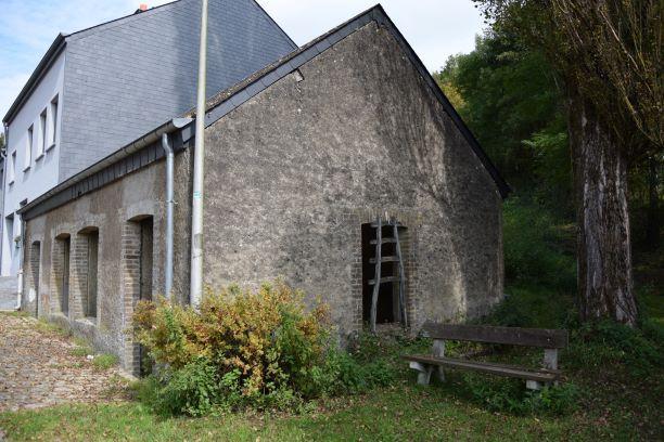
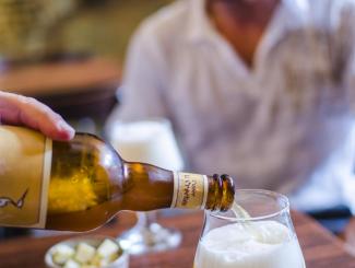
Leave Cherain behind and immerse yourself in the heart of the Parc naturel des deux Ourthes. Throughout this stage, the river Ourthe Oriental will follow you. You'll discover the medieval town of Houffalize and finish your ride in Achouffe, a small village famous for its beer
Length: 34.1 km - Ascent: 591m - Descent: 668m
Stage 9 : Achouffe to Cens
The legendary Valley of the Fairies Fées opens up to you. Wind your way along the Achouffe ponds, past the beach at Maboge where you'll find the Ourthe, discover the white pebbles 'Blanc Cailloux' of Mousny and stop off at the small village of Cens, a grassy plateau where the landscape reveals itself.
Length: 35.7 km - Ascent: 679m - Descent: 611m
Stage 10 : Cens to Cobreville
Leave the river Ourthe at Wyompont and discover the castles of Roumont. Further on, the natural reserve Orti will enchant you with its soothing atmosphere. Enjoy a beer at the Demanez brewery in Magerotte before entering the Natural Park of Haute-Sûre Forêt d'Anlier. On your way out of Morhet and the woods, an equestrian picnic area awaits you. Find out more about the legend of the Confidence of the Old Boar.
Length: 31.7 km - Total ascent: 398m - Total descent: 347m
Stage 11 : Cobreville to Bodange
You will set off from Cobreville to reach Bodange. This stage takes you through Volaiville, Traimont and Fauvillers. Before Volaiville, you will cross the Bois Gérard. At Volaiville itself, a picnic area awaits you right next to the river Sûre. Towards Fauvillers, you will follow the Rue de la Misbour, named after the place known as "La Misbour" in reference to the old church. Don't hesitate to stop for a moment to discover the remains of this church. A timeless moment surrounded by our magnificent hardwood trees.
Length: 26.8km - Total ascent: 349m - Total descent: 411m
Stage 12 : Bodange to Merscheid
You leave Bodange and Belgium to arrive in the Grand Duchy of Luxembourg. You cross the Sûre and discover Luxembourg's magnificent countryside, with its forests, meadows and small villages. This challenging route will finally take you to Merscheid.
Length: 41.8km - Total ascent: 713m - Total descent: 832m
Stage 13 : Merscheid to Todlermillen
After leaving Merscheid, the route takes you towards Heiderscheid and the Sûre valley. After several kilometres of wooded paths, you reach the village of Goesdorf. You then descend to the river Sûre and its clear banks.
Length: 18.4km - Total ascent: 408m - Total descent: 636m
Stage 14 : Todlermillen to Harlange
Between countryside and forest, you pass through several villages and hamlets in the Upper Sûre Nature Park: Bockholtz, Dahl, Buderscheid and Kaundorf. You then arrive at Lac de la Haute-Sûre. Passing through forests and cleared valleys, you then head up towards Sonlez. After this hamlet, you pass through more rural countryside before finally arriving in Harlange.
Length: 32.7km - Total ascent: 531m - Total descent: 732m
The bonus stages
Bonus 1 : Houffalize to Bastogne
This stage links the Parc naturel des deux Ourthes and the Parc naturel Haute-Sûre Forêt d'Anlier. You can start from Bastogne or from the commune of Houffalize. In the charming village of Neffe, a horse-riding stop awaits you on the banks of the Wiltz. You'll pass through the picturesque villages of Mageret, Oubourcy, Rachamps and Wicourt.
Length: 21.9km - Total ascent: 277m - Total descent: 118m
Bonus 2 : Couteumont to Grandvoir
From Cousteumont via the wood of Ospot you will reach Neufchâteau. In the wood of Ospot, turn right along the Chemin du Bois d'Ospot to reach the equestrian rest area behind the Neufchâteau fire station. In Neufchâteau, you will ride partly alongside the lake. The rest of the stage takes you to the picturesque village of Tournay.
Length: 13km - Ascent: 176m - Descent: 195m
Bonus 3 : Offaing to Habay-la-Neuve
Start at Offaing and head through the woods towards the village of Léglise, famous for having been hit on 20 September 1982 by one of the most violent tornadoes the country has ever seen, destroying many houses, the presbytery and several farms. This stage will also take you through the villages of Lavau, Habaru, Bernimont and Cousteumont, finishing in Habay-la-Neuve.
Length: 26.8 km - Total ascent: 226m - Total descent: 130m
Bonus 4 : Nantimont to Heinstert
Starting from the "Au Brin d'herbe" equestrian centre You will pass by the Gallo-Roman Villa of Mageroy, one of the most important archaeological sites in the region. You'll also pass through Habay-la-Vieille and the Chemin de la Trapperie, where you can discover the exceptional skills of dry-stone walling. A picnic area will welcome you at the Chemin de la Trapperie. You will pass through the magnificent Pont d'Oye estate to reach Rue de la Schock in one of the most beautiful villages in Wallonia: Nobressart. From the village you can reach the A Yaaz farm in Heinstert.
Length: 21.1 km - Total ascent: 217m - Total descent: 282m