


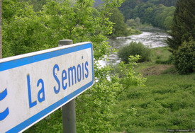
Liaison - Noirefontaine - Dohan - Cugnon - Bertrix (Liaison - Noirefontaine - Dohan - Cugnon - Bertrix )
À Dohan
A - Canoeing & kayaking: practical information
Landing and boarding:
Voir sur la carte
Village of Les Hayons
- Area called « Gué du Maka » (25 meters downstream from the campsite, right bank)
Voir sur la carte
Village of Dohan
- Area at the bridge of Dohan (40 meters downstream from the bridge, left bank)
Voir sur la carte
Village of Noirefontaine
- Area called 'Gué du Han du Han' (25 meters downstream from the brook of the Moulin Hideux, right bank)
À Dohan
B - A border rock
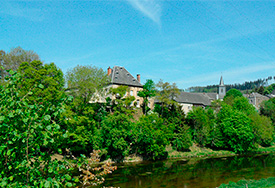
A highly strategic place in the Middle Ages. At the time, the castle kept watch over the ford, an alternative for those wishing to avoid the powerful lords of Bouillon.
Did you know?
In the Middle Ages, the ‘Roche Percée’, a natural site where a path runs alongside the river, was the border between the Duchies of Bouillon and Luxembourg, upstream of the mouth of the Alleines stream. The site, which is mentioned in a medieval treaty, also set the boundaries of the bishoprics of Reims, Trêves and Liège.
Walking
It is possible to reach the ‘Roche Percée’ following the path that runs along the Semois, just beyond the ‘Poteau de Léveau’. A narrow path from the rock takes you to a splendid panoramic view.
Practical details
Distance: 6 km
Waymarking: red diamond, walk No 40.
Difficulty: average
Time: 2 hrs
Start: opposite the church, go up the steps towards the roadside cross.


