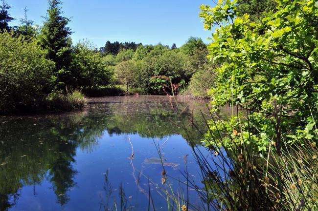
Multi-day hiking trails in the Ardennes
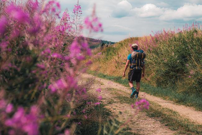
...And we're off for a few days hiking to explore the most beautiful places in the Ardennes. Whether you'd be more tempted by a two-day backpacking hike or a more extensive exploration over several days, in this article you can find details of the best multi-day hikes.
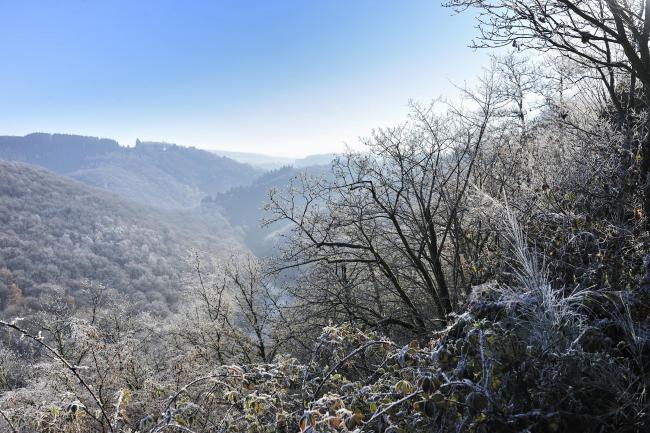
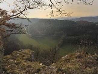
Escapardenne Éislek trail: 5 days
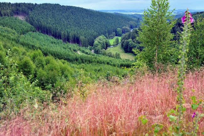
Imagine a trail which links Kautenbach to La Roche-en-Ardenne through the most beautiful Ardennes countryside. The Éislek Trail crosses magnificent and diverse landscapes, including forests, meadows and villages. Each stage is waymarked in both directions. Set off on a five-day hike without frontiers!
The stages:
La Roche-en-Ardenne – Nadrin – Houffalize – Asselborn – Troisvierges – Clervaux – Munshausen – Kautenbach. The hike crosses the Ardennes in Belgium and Luxembourg.
Access: From the A1 motorway from Luxembourg city
Level of difficulty: Difficult - Distance: 106km - Duration: five days
Location: From Kautenbach in Luxembourg to La Roche-en-Ardenne in Belgium
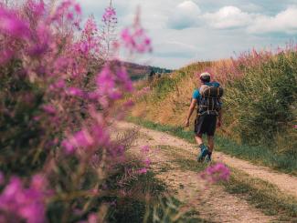
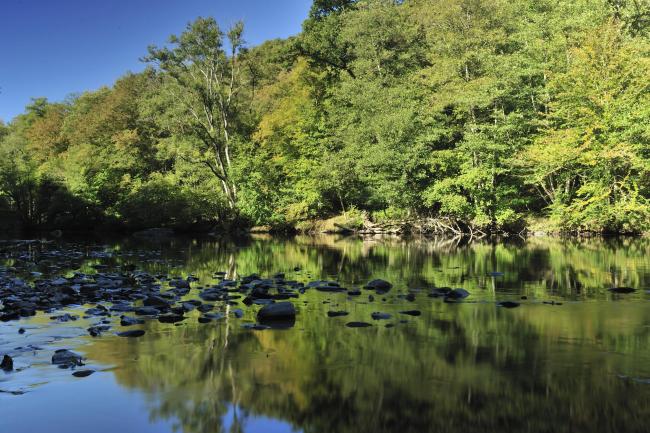
Lee Trail: 3 days
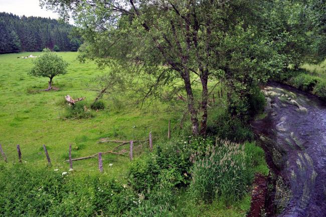
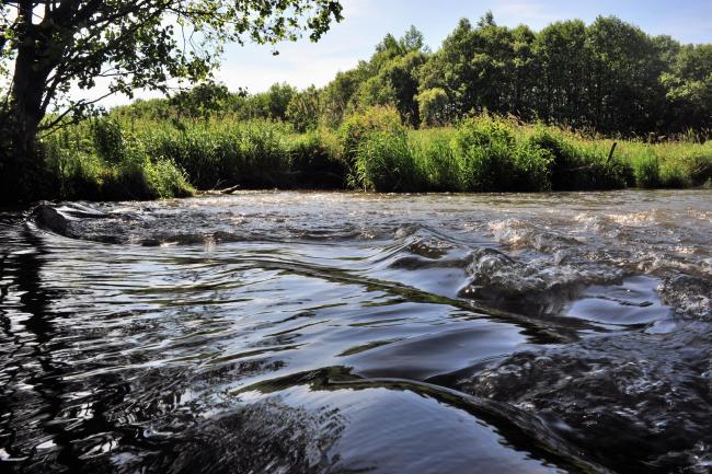
Set aside three days to wander along the paths and country roads of the Lee Trail between Ettelbruck and Kautenbach. You'll walk for 53km as you explore the valley of the River Sûre and take the opportunity to recharge your batteries as you enjoy these preserved wide open spaces. From its source to its confluence with the Moselle, the Sûre has shaped this region of charming wild landscapes. This trail includes some significant changes of altitude. From the valley, it climbs slowly to a ridge, from where you can enjoy views over a series of hills and valleys.
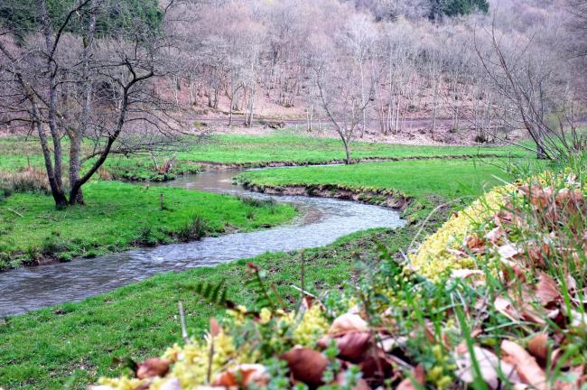
The next part of the trail takes you towards Kautenbach, sprinkled with layers of dry, South-facing schist.
The stages:
Ettelbruck to Bourscheid-Moulin: 18.3km
Bourscheid-Moulin to Hoscheid: 19.7km
Hoscheid to Kautenbach: 15km
Access: From the A1 motorway from Luxembourg city
Level of difficulty: Difficult - Distance: 53km - Duration: three days
Location: Ettelbruck, Luxembourg
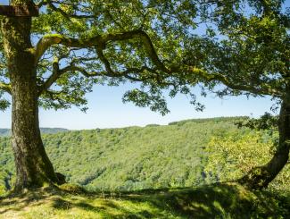
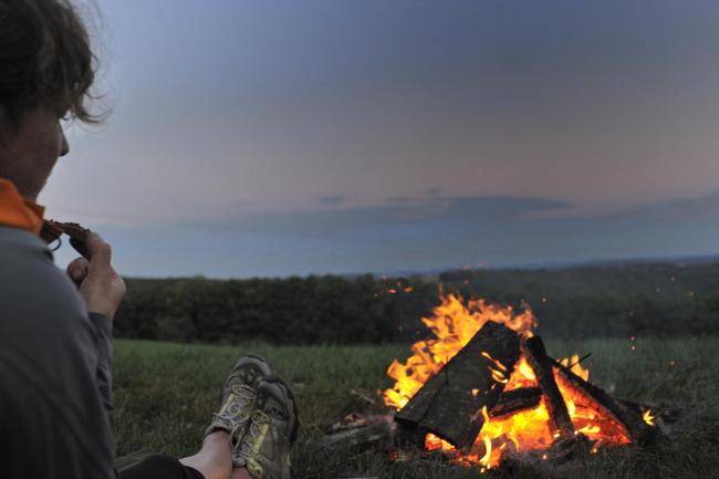
Backpacking in the Saint-Hubert forest: two days
Fancy immersing yourself for two days in the wild Ardennes? This circular walk between Bertogne and Le Golet explores the upper Ourthe and Laval valleys, with the bonus of an overnight camp in the huge Saint-Hubert forest. Perfect for recharging your batteries and having an adventure in the depths of the wild.
Access: From the N4 motorway (La Roche - Bastogne), take the Sainte-Ode exit
Level of difficulty: Moderate - Distance: 45km - Duration: two days
Location: Bertogne, Belgium
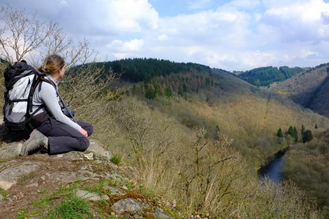
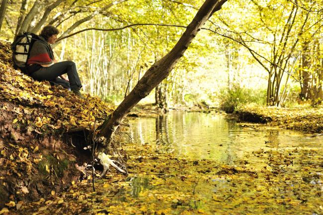
The Transardennaise Trail: seven days
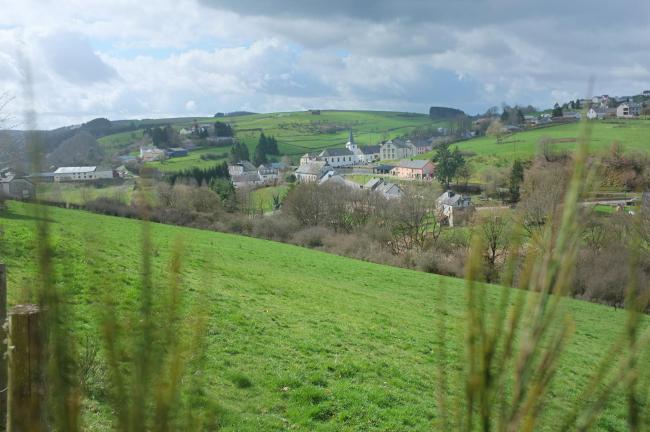
You don't have to travel far from your home to get away from it all in Belgium! The Transardennaise Trail is a must for hikers in the Ardennes. If you dream of getting away from it all and having an adventure, we suggest you try the experience of this seven-day hiking trail, starting in La Roche-en-Ardenne. As you cross forests and rivers, your outlook changes from that of a hiker to an traveller. When you arrive in Bouillon, after more than 160km, you'll have seen so much during your crossing of the Ardennes!
Access: From the N4 motorway (La Roche - Bastogne), take the Sainte-Ode exit
Level of difficulty: Difficult - Distance: 160km - Duration: seven days
Location: Sainte-Ode, Belgium
The Ardennes on foot: hike in the Two Ourthes Nature Park: five days
Located at the heart of the Ourthe and Laval valleys, this 105km hike explores Sainte-Ode in the Belgian province of Luxembourg. A stay on the Two Ourthes Nature Park is unmissable for hiking tourists visiting Wallonia!
Access: From N4 motorway (La Roche - Bastogne), take exit for Sainte-Ode
Level of difficulty : Moderate - Distance: 105km - Duration: five days
Location: Sainte-Ode, Belgium
The Freedom Trail: 3 days
This 68 km loop connects the various commemoration sites in the Bastogne region. It starts naturally at Le Mardasson, then crosses the communes of Vaux-sur-Sûre, Sainte-Ode, Bertogne and Bastogne. This route is an invitation to remember the past. Via paths, through forests, fields and villages, walk in the footsteps of the great men who gave their lives to free Europe.
The route, which is also accessible by mountain bike, is part of the Liberation Route Europe.
The stages:
Le Mardasson (Bastogne) – Houmont (25.65 km)– Champs (48.6 km) – Le Mardasson/68 km (Bastogne) or „à la carte“.
Access: N4 or E25 motorway (Bastogne)
Level of difficulty: average - Distance: 68 km - Duration: 3 days / 3 nights
Location : Bastogne, Belgien
More information:
contact@gta.be / +32(0) 61 68 86 11
Available: route book and IGN map.
www.gta.be/chemin-de-la-liberte
More information
For more ideas for hikes, please consult our Top 5 long-distance hikes!
To book one of these hikes, go to www.europeaventure.be or www.ardennes-rando.com
4 results
Order

Map background choice

IGN Map

Aerial Photos / IGN

Slope Map (IGN Plan)

Map 1950 / IGN

State Major Map (1820-1866)

Open Street Map

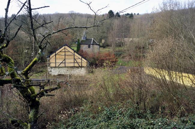
Escapardenne Lee Trail - Stage 3
The route passes through oak coppices and enters the tranquil Schlinder Valley. At the end of the valley, the majestic ascent of the MolberLee takes you up to Hoscheid on the high plateau. The hike passes through the village of Hoscheid to then come back down in a North-West direction to the Lëtschbaach valley. After a zigzag climb, the path turns to the South-West and leads to the St. Michel chapel at the bottom of the Schlinder valley. The trail then snakes through the leafy woods of the place known as Malpartes on the hills.
Crossing the CR 348, the route goes down via the Hoflee and crosses the "bridge" then goes up alongside the Gëischelterbaach stream. The route then turns towards the left and slopes back up in the direction of the Hockslay and Ueweschlee viewpoints. Finally a beautiful descent along the ridge of the Bomm leads to Kautenbach and its railway station.
21.1 km
Medium
2A Op der Gare 9153 Buerschent
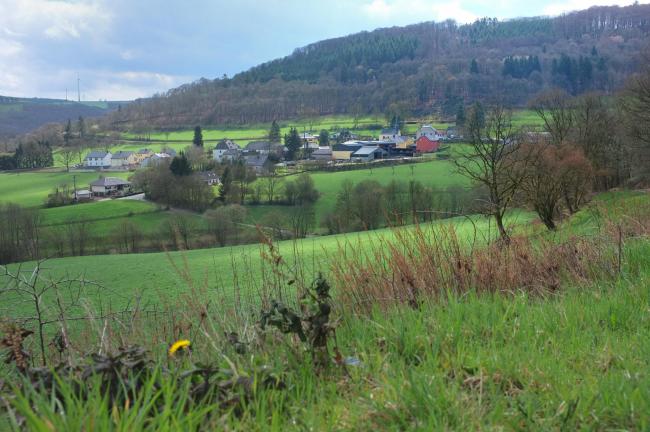
Escapardenne Lee Trail - Stage 1
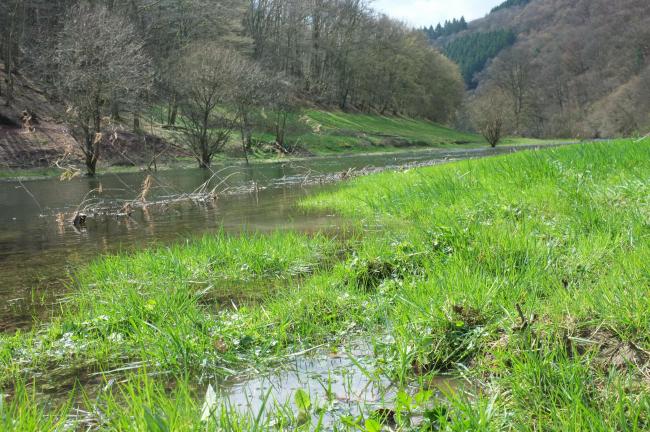
The route starts off at Ettelbruck train station and continues to the Patton monument before climbing the small, sloped path. The path then takes you along the edge of the plateau towards Erpeldange. It crosses Erpeldange and then follows along the bottom of the Mëchelbaach valley. After this there are several exceptional sites, like the panoramic view of the Predigstuhl, Michelau village and the Gringlee viewpoint. A steep descent then takes you down to Bourscheid-Moulin, situated at the bottom of the Sauer valley.
17.7 km
Hard
1 Place de la Gare 9044 Ettelbruck
Escapardenne Lee Trail - Stage 2
The path continues towards the Du Moulin campsite and follows the river (Sauer) along a natural path after crossing the exit of the railway tunnel via a metal structure. The path leaves the valley to gain altitude, passes by the FéischterLeen and up through oak tree copses towards the village of Bourscheid and the Napoléonsknäppchen viewpoint.
The path leads towards the village of Dirbach, dominated by the imposing rocky outcrops of the RouschteschLeen. After Dirbach the path heads North East, following the valley of the Upper Sauer, to reach Goebelsmühle and its train station.
13.4 km
Medium
1 Buurschter-Millen 9164 Bourscheid
Powered by Cirkwi - Read Terms of Use