The Forests in the Ardennes
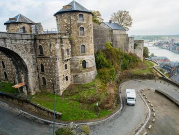
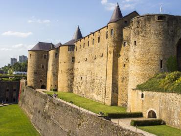
Whether you visit them for a few hours or a few days, the Ardennes forests will enchant you and provide you with unforgettable memories: not only delightful images full of seasonal colours, but also fragrances, dappled daylight and plenty of fresh air and clear water. River valleys cut through the forests, and their cliffs and outcrops were chosen as the sites of fortresses by local aristocrats. Trees flow like a green wave over hills, peaks, plateaux and plains, providing not only timber for building and firewood, but also a home for game animals and birds and an environment for sports and relaxation. There is something for everyone, whether you be a walker, a curiosity seeker, a sports fan or all three!
One forest, three countries
History
The rolling hills of the Ardennes average heights of 350m-400m above sea level, with the highest point being the Signal de Botrange peak in the Hautes-Fagnes district of Belgium at 694m. The thickly wooded hills and valleys impressed Roman General Julius Caesar during the Gallic Wars in 58BC-50BC. In the mediaeval period, the forests were associated with various evil spirits, giants and goblins, and teemed with game animals that were hunted and trapped for food. The trees of the forest also provided timber for building and firewood. From the early modern age onwards, the timber was also used to make charcoal which was shipped down the rivers to power early metal ore smelters, forges and foundries, before improvements in coal-mining technology led to its replacement with coal. In both World Wars, the winding roads through the forests were thought unsuitable for large-scale military movements and so they were only lightly defended: the German army successfully attacked Belgium and France through the Ardennes in 1914 and launched its unsuccessful counter-attack there in the winter of 1944-1945 that became known as the Battle of the Bulge.
Activities
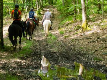
Most of today’s visitors to the Ardennes forests come to enjoy a wide range of leisure activities, including:
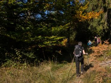
- hikes and walks along waymarked trails (with or without guides)
- guided foraging trips for mushrooms, berries and other edible plants
- orienteering and cross-county running
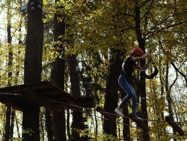
- rock climbing and abseiling
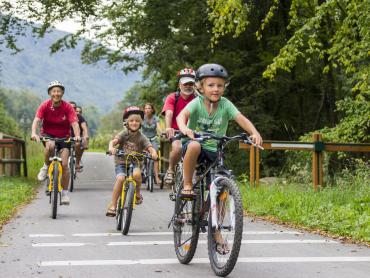
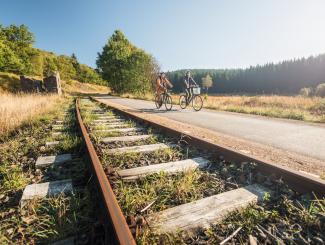
- mountain-biking, cyclo-cross and road cycle racing and touring
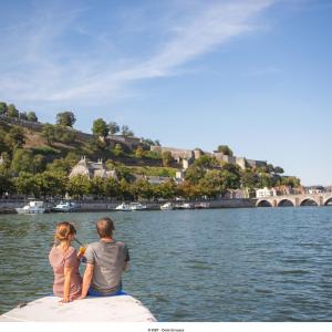
- kayaking, canoeing, rafting and pleasure-boat cruises
- discovery parks, nature reserves, museums and animal parks
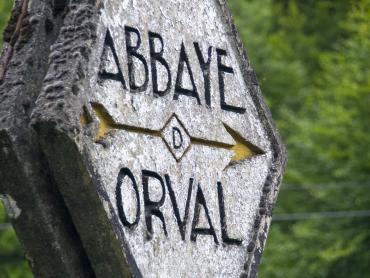
- history trails following in the footsteps of smugglers, monks and characters in legends
- fireside evenings in cosy cabins with storytellers.
The various parts of the forests
The Ardennes forests can appear to run into each other to form one huge mass, covering territory in France (60,000 hectares), Belgium (218,000 hectares) and Luxembourg (83,000 hectares). Most of the French part is protected as part of the Ardennes Regional Nature Park. The Belgian parts include several Nature Parks; the area around Saint-Hubert, a town named after the patron saint of hunters, where hounds and hunters are blessed in an annual hunting festival; and the Hautes-Fagnes moorland. The Luxembourgeois part comprises the northernmost third of the country, known as the Oesling (or Ösling or Éislek). It remains very sparsely populated: the largest settlement is the village of Wiltz with 4,500 inhabitants.
